It took just under one hour to drive to the trailhead. The trip reports were very helpful, I checked the mileage when I turned onto Thompson Creek road and found FS1005 road at 11.7 miles. I never saw the National forest boundary marker but did see that FS1005 was right at the point that you LEAVE Josephine county.
The road was in great shape, but unfortunately at 2 miles there was a huge tree down across the road. I carefully turned the rental car around and pulled to the side of the road.

Usually some extra running is a bonus, but with the marathon looming I was a little worried. This would mean 1.8 miles (3.6 round-trip) of additional running and an extra 500-600' of climb and descent. I decided it wouldn't be bad if I just ran VERY slowly, heck that's just what i'd need to loosen up my legs from all of the travel.
I was out of the car 30 minutes after sunrise (8:20AM) and slowly jogged up the road. I reached the trailhead (1.9 miles) in 19:05, took a swig of water and started the steeper climbing. I reached the trail junction at 5,500' in another 16:12, looking forward to the next section of switchbacks. Up until that point the climb was pretty steep but the trail was in great shape. The next part was very nice with soft trail and moderate grades. I hit the final trail junction at 6,100' after 17:03 (total for approximately 4 miles from the car was 52:21). I took a little more than 3 minutes to tighten my running shoes and take a few pictures.


The next part was the non-running section. I headed up the steep open east face of the mountain. I zig zagged a bit and had to go around some patches of snow above 6,400' but nothing was too bad. It took me 20:29 (1:16:25 total) to reach the top.
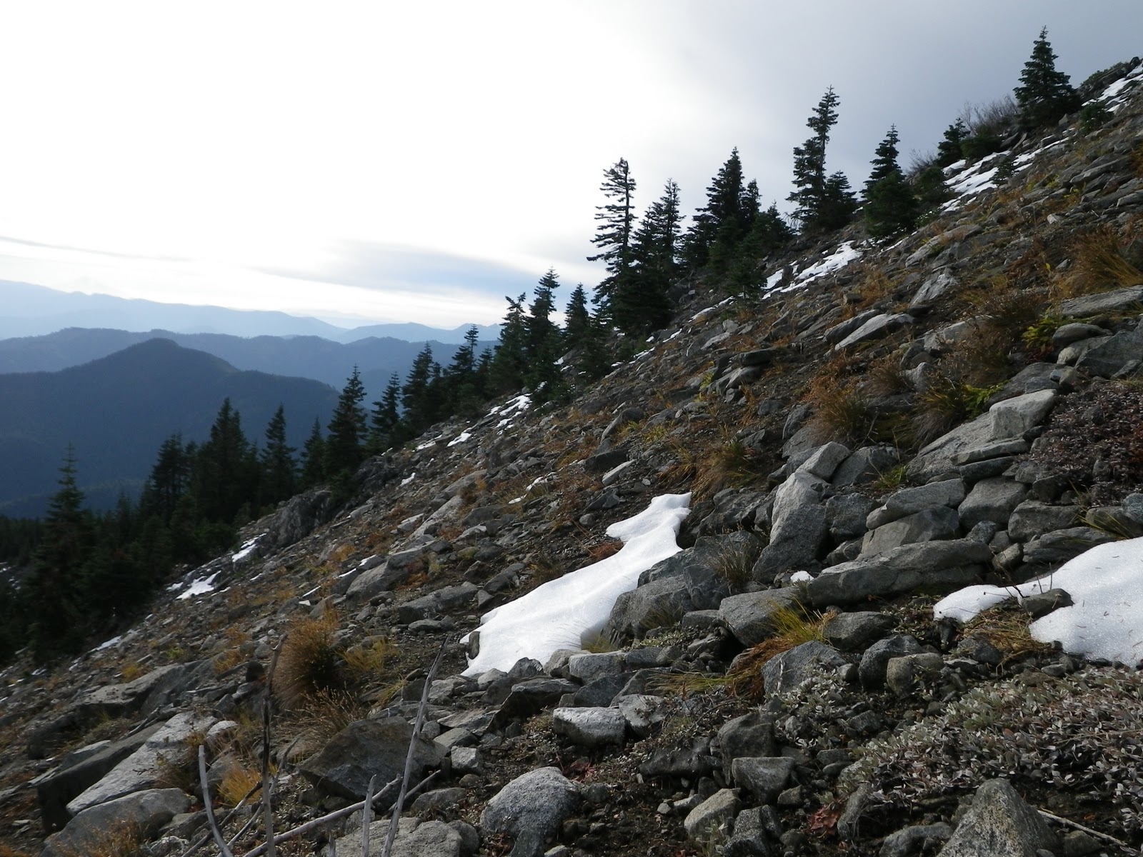 |
| Steep, but not the steepest part |

 |
| This was a small area of snow before the Gap |
This marked my 38th state with at least one county high point reached. Trip stats were about 8 miles running and 2 miles hiking with 3,000' of climb and descent. Total time up was 1:16:15 and down was 1:33:45. Total clock time (including breaks) was 2:56:09
Now off to the Marathon!!!
 |
| Action Dave relaxes in the hotel room with the current issue of New England Runner |
No comments:
Post a Comment