Kings Peak (Utah) – Eric and I headed to Utah to take our
second crack at the state high point. We’d been thwarted in our attempt a
couple of years ago when our flight was cancelled and we spent a night in
Washington DC. That turned into a scouting trip so we were now familiar with
the first 10.5 miles of the trail. This time we would not be denied!
Our flight out went smoothly and we arrived ahead of schedule
in Salt Lake City. After a 90 minute drive to Evanston Wyoming we headed out
for a “shake out run”. Eric and I both think that is a dumb term for a run and
we cracked each other up about what exactly was being shaken. Anyway, we got in
a nice run in Bear River State park and at the same time got a little taste of
altitude at over 6,000’.
We hit the road at 4:30am on Friday and were ready to run at
the Henry’s Fork Trailhead by 6:30 am which was slightly before sunrise. Skies
were clear and we were met with temperatures in the upper 30’s at the 9,340’
altitude. We’d spend a long day at a pretty high altitude for a couple of guys
living close to sea-level. We each carried emergency gear along with gloves,
hat, jackets, etc. I carried a bit more food than Eric and he carried a bit
more water than me (I had a little over 1 liter). We had no particular time
goal; we just wanted to make sure we got up and down the mountain safely.

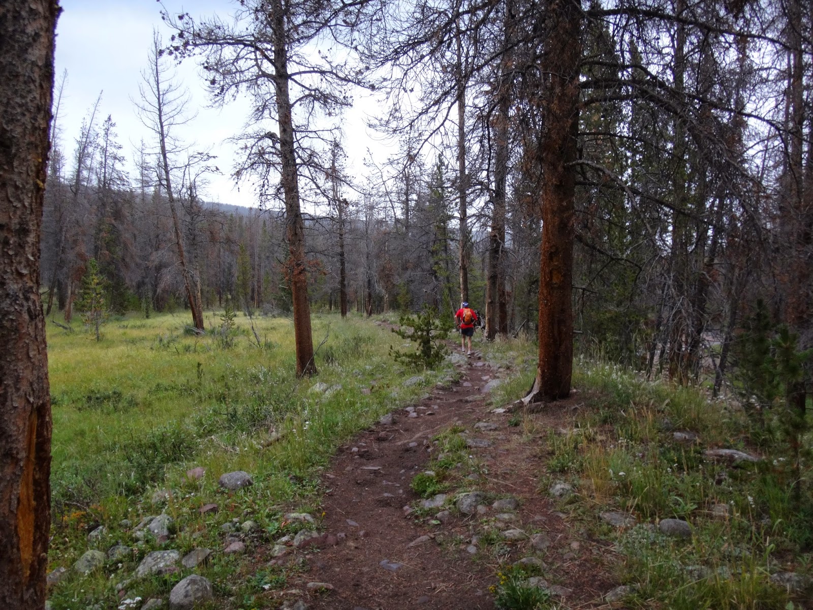
The first 10.5 miles from Henry’s fork to Gunsight pass
(11,888) featured some pretty easy running with an average of only 200’ of climb
per mile. The first 5.5 miles to the river crossing was in open woods and the
next 5 would be in open land with great views. We took turns each leading for 2
miles and the miles just clicked off. We reached the river crossing in 1:12 and
Gunsight pass in 2:20. That was where the real action would take place.


We didn’t take any real breaks in the first few hours, just a
few seconds to “water the trees”. At Gunsight we stopped for 5 minutes as I was
having a blister problem. I applied some lube and added a second sock and hoped
for the best. There are a few choices on which way to go from Gunsight and we
decided to take the more direct route angling around the side of the mountain.
It turned out to be very slow going with a lot of boulder hopping on big loose
rocks. I’m pretty unsure on my feet so this was VERY slow going for us. We
bumped into a couple who weren’t sure where to go (the cairns we had been
following had petered out by now), they watched for where we went which was
basically a straight line to Anderson pass.
We reached Anderson Pass (12,600’) in 3:34 or 1:14 to
cover on 1.7 miles! We took a quick break for me to tighten up my shoes. The
blister was pretty bad by now but there was nothing much to do about it. The
final ¾ of a mile would feature nearly 1,000’ of climb on more boulders. There
was no real path to follow as one of the hikers we met at Anderson said “just go
up”. We met a couple of other guys and worked together finding the better
locations to wind our way up to the top and stay away from the incredible drop
to our right. It took us 47 minutes to scramble up that .75 miles and we were
at the highest point in Utah (13,528’) 4:21 after we’d set out from Henry’s
Fork.


After a very quick 7 minutes on the top, taking pictures
and grabbing a quick gel we were on our way back down to Anderson. It was just
as tough coming down and took nearly an hour to get there. Eric and I bid the
hikers good luck as they were heading down the scree slope, we chose to take the
much longer route back. We also chose to not go the way we’d come up the
mountain instead we’d add on an extra mile but get to stay on trail. The trail
surface wasn’t the greatest but it was much better than the boulder fields.
We made it back to Gunsight at 6:50 into our day. The
400’ climb back up to the pass may have been the hardest run during the day with
both of us working hard despite running a 22 minute mile! I had a bit of a
headache from the altitude but was drinking water consistently and in addition
to the 3 gels I also ate a protein bar and had some peanuts. For the most part
I felt okay just a bit tired and my blistered foot was killing me. For the last
10.5 miles we again alternated every 2 miles and steadily clicked off 14 minute
miles. It was a long 2.5 hours of running but we got a lot of encouragement
from hikers who were heading in, which was pretty cool.

When we left Gunsight we had a brief sun-shower and also a
little bit of hail. There were some big clouds coming in fast and by the time
we had 4 miles to go there was a light rain falling. The last 2 miles featured
thunder/lightning and a much steadier rain. We were both glad to not be up on
the summit at this point (there were people headed for the top pretty late in
the day). We finally reached the car 9:23 after we’d left and were both happy
to be done this peak. This was state high point number 43 for me and number 34
for Eric.

4 comments:
Great write up and picture! Sounds like you lucked out with the weather, clear on the important part and lousy when almost done! Thaks for sharing!
Nice work lads and as usual a good report.
Thanks guys!
Thanks guys!
Post a Comment