Next up was a 3 hour drive to the Golden Spike national monument. This was the location where the Union Pacific and the Central Pacific railroads met. We arrived just in time to see the reenactment of that feat. We then headed over to the “Big Fill” and “Big Trestle” location which gave us a chance to run 4 miles on the old railroad bed. It was pretty amazing to see the work that went into getting the railroad up and over the mountains.
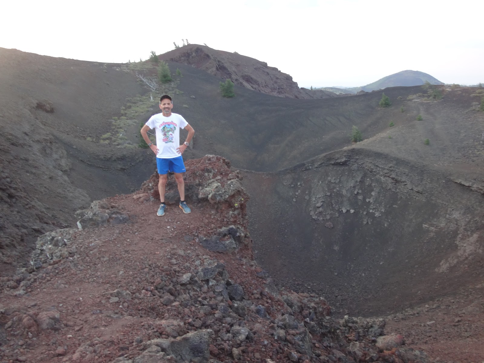
The day after our hike up Mt Borah we were up before sunrise and drove to the Craters of the Moon national monument. Another beautiful morning met us with 60 degree temps and clear skies. We took our time getting in 7 miles running over ancient lava flows and going up and down a few volcanic cones. The scenery was amazing and the footing was pretty good for running.
We made our way back to Arco and immediately headed out for a run (before we got REALLY tired). There weren’t a lot of options so we went to the town park (which commemorates Arco being the first town to be powered by nuclear energy) and also ran on the track. Both of us found it endlessly amusing that the local team nickname was the “Pirates” since we were in Butte County they were in fact the “Butte Pirates”. After checking in to our hotel we rested for a couple of hours before heading out for another 3 mile run on the Arco bike path which was nice but it was 90-plus degrees.
Earlier this year Eric Morse and I reached the summit of Mt Hood in Oregon. This was my 45th state high point (and Eric’s 44th); now the “difficult” ones remain. We weren’t ready to do another state HP this year so Eric suggested a road trip to the middle of Canada where we could reach two Province high points. I liked the sound of this adventure and was on board immediately.
I headed up to Eric’s on Wednesday and got a few hours’ sleep before we were up at 3am for a very early morning run. We flew from Burlington VT to Chicago to Winnipeg. We had a little trouble with Canadian customs as they did not like my “story” about driving around visiting high points (they thought we might be drug runners!). Then the real travel started. We would be driving over 1,500 miles from Thursday morning through Saturday afternoon. After a quick stop at the Liquor Mart we were on our way.
There weren’t many good options along the way for runs. There just weren’t any big towns along the way, actually there wasn’t much of anything just farm after farm. After a couple of hours of driving we rolled into a small town that had some side road so we stopped. It was nice to get out of the car and stretch the legs a bit. We ran an easy 4 miles and were back on the road. A few hours later we reached the Duck Mountain national park and Baldy Mountain. At 2,726’ this was the highest point in Manitoba. We drove to very nearly the top and parked. After a few pictures from the top of the viewing platform we headed out for a 4 mile run. The first 2 miles dropped and climbed a couple of hundred feet on a nice grass trail. After that we got in 2 more miles running out/back on the access road. It was buggy but again nice to be out of the car for a run. We checked out the benchmark near the highest point then jumped in the car for the remaining few hours of driving for the day.
We had another pretty short night getting up before sunrise and getting in a short run “in town” before hitting the road. The directions to the Saskatchewan high point (via google maps) were not the best. Luckily we also had a book describing access to the HP and I had printed up some Peakbagger trip reports. It was slow going the last 50km or so on dirt road and being unsure of exactly where we were headed. We didn’t have any problems and got to the top at 4,567’. This was a very wide plain with nothing resembling a highest point on it. We stealthily ducked under the barbed wire fence and trotted a ½ mile to get to what we felt was the highest ground (no markers). This was not a place to do a run as there were cows all around, so we dropped back down to the main dirt road. This turned out to be one of the nicer runs on the trip as we ran on a very quiet dirt road for 4 miles. It was hot but the north wind and low humidity helped. A few more hours of driving got us to Swift Current. We went out for another 3 mile run, this time to scout out the local track that was close by. The track was fantastic! They have a first class facility and a sign on the gate noting that all were welcome. I had asked Eric to bring flats as I was hoping to do a workout during the trip (I hadn’t raced since the 2nd of July and really needed some turnover).
After a good night sleep we were up at 5am and out doing our warm-up to the track at 5:30am. I wasn’t sure what to expect since I haven’t done a track workout this year and rarely attempt a fast run that early in the day. We decided to do 2 times a mile at whatever we could do them at. Eric recently ran under 11:00 for 2 miles during a lunchtime workout so he wouldn’t have any problem with this. We did a mile with some strides and I guessed that sub-6 would be do-able and maybe close to 5:45. We alternated the lead each ½ mile. Eric took the lead for the first ½ mile and we were moving well. I kept it going and we finished the first mile in 5:45. We ran an easy half mile and then it was my turn to lead. I took it out a bit too fast for the first ¼ mile then eased it back a bit. Eric took over and it looked like we had a shot at breaking 5:30. I lost a little ground in the last 200 meters as Eric ran 5:26 and I was ecstatic running a 5:28 (my fastest mile this year!). Not bad for an early morning workout. We did our warm-down run back to the hotel and soon after hit the road.
The next leg of driving was a straight shot of nearly 8 hours from Swift Current to Winnipeg. Basically it was 500 miles straight on the Trans-Canadian highway. We didn’t stop along the way, and there really wasn’t anywhere to run anyway. Once we got to Winnipeg we did an easy 3 miles on a bike path in the Assiniboine Park. Another 3:30 am wake up and the same 3 miles before heading for the airport and finishing the trip.
These are considered to be the two easiest Province HP’s so anything else will be a bit more challenging. It sort of reminded me of our trip to Kansas and Nebraska. Next year we’ll have to do a few closer to home and maybe even mix in some “County/Census Division High Points”.
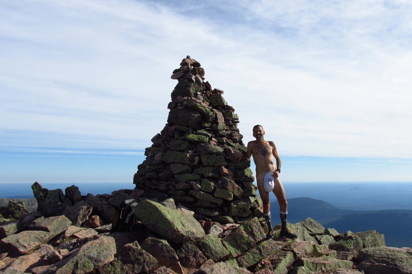
Two of my favorite things are running to high points and running around naked (at one time I held the "US record" for a naked 5k XC). I rarely get to combine the two, but last weekend with the summit of Katahdin pretty much too myself...
Eric Morse and I are trying to visit all of the state high
points, and do some running at each. Prior to this trip I’d visited 44 and Eric
had 35. Our plan was to bag 6 southern states in a very short period of time
(flying out on Thursday morning and back on Saturday). I already had all six of
these states but was looking forward to heading back to them. Travel with Eric
is always fun.
We got in a 3 mile run at 3am before heading to the airport
on Thursday morning. I had a plan to get the miles we wanted, bag the peaks,
and even get a few hours sleep each night. Once we touched down in Charlotte we
had a 3 hour drive to Sassafras
Eric and I headed out to M for a long weekend to do some Peakbagging. We've both been slowly chipping away at the 50 state high point list. The goal on this trip would be to run to the highest point in NM, the summit of Wheeler Peak at 13,161'. There were a few options to reach the top and we chose the longer Williams Lake to Bull of the Woods (BOTW) loop. By doing this counterclockwise we'd be doing much of the climb in the first 6 miles and then drop over 8 more miles (with a couple of bumps). Along the ay we'd hoped to visit Mt Walter, Frazer Mountain, and BOTW mountain. This would be Eric's 35th high point and my 44th.
Friday morning at 3am we hit the road for a 3 mile run at Eric's then drove to Burlington VT. We arrived in ABQ at noon and by 1:00 we were on a bike path along the Rio Grande putting in a bit of altitude training. It was 90 degrees and the travel, the sun and the 5,000' of altitude were all felt. After another 2 hours of driving we arrived in Taos and went out for another 5 mile run this time at 7,000'. It seemed like a good way to ease into the upcoming trek.
We were off at 5am on Saturday and arrived in Taos Ski Village at a bit before 5. It was 41 degrees at the BOTW trailhead parking lot and just barely light enough to run without headlamps. We set
For the first time in 20 years I could not run down Mt
Washington (due to my arthritic ankle), so I made the best of it and came up
with some “high points” to visit. After a quick change of clothes I grabbed my
camera and Action Dave and headed back up to the summit where my loop would
start. The weather was perfect with clear skies and very little wind.
I headed down the connector trail which was a rocky jumble
that dropped 300’ in a ¼ mile. My legs were a bit wobbly from the race but I
took my time and was cautious. This took me to the White Mountain National
forest high point, which appeared to be a grassy flat area near the trail.
From the WMNF HP I continued down the connector then turned
onto the Gulfside trail. This was a lot less steep, dropping another 300’ in ½
mile. The Gulfside Wilderness high point was also close to the trail on the
edge of the massive drop into the Gulfside. I took a few pictures then headed
up a connector trail the dropped me at a parking lot on the Auto Road.
From the road I climbed to the Nelson Crag trail then did a
quick out and back to bag the Ball Crag summit (6105’). I took some pictures
from this point including some shots of the summit from an angle I’d never seen
before. From Ball Crag I completed the loop by climbing back up to the top of
Mt Washington (6288’). I finished the hike with a short visit to the summit
building where I bought a couple of (expensive) Cokes for the ride down.
I definitely missed getting to run down on such a beautiful
day, but the new (for me) views made it well worth missing.