I decided to use the long Columbus Day weekend as my
opportunity to finish my town bagging in New Hampshire. I had eight of the 259
towns left in my goal to run in every town in NH.
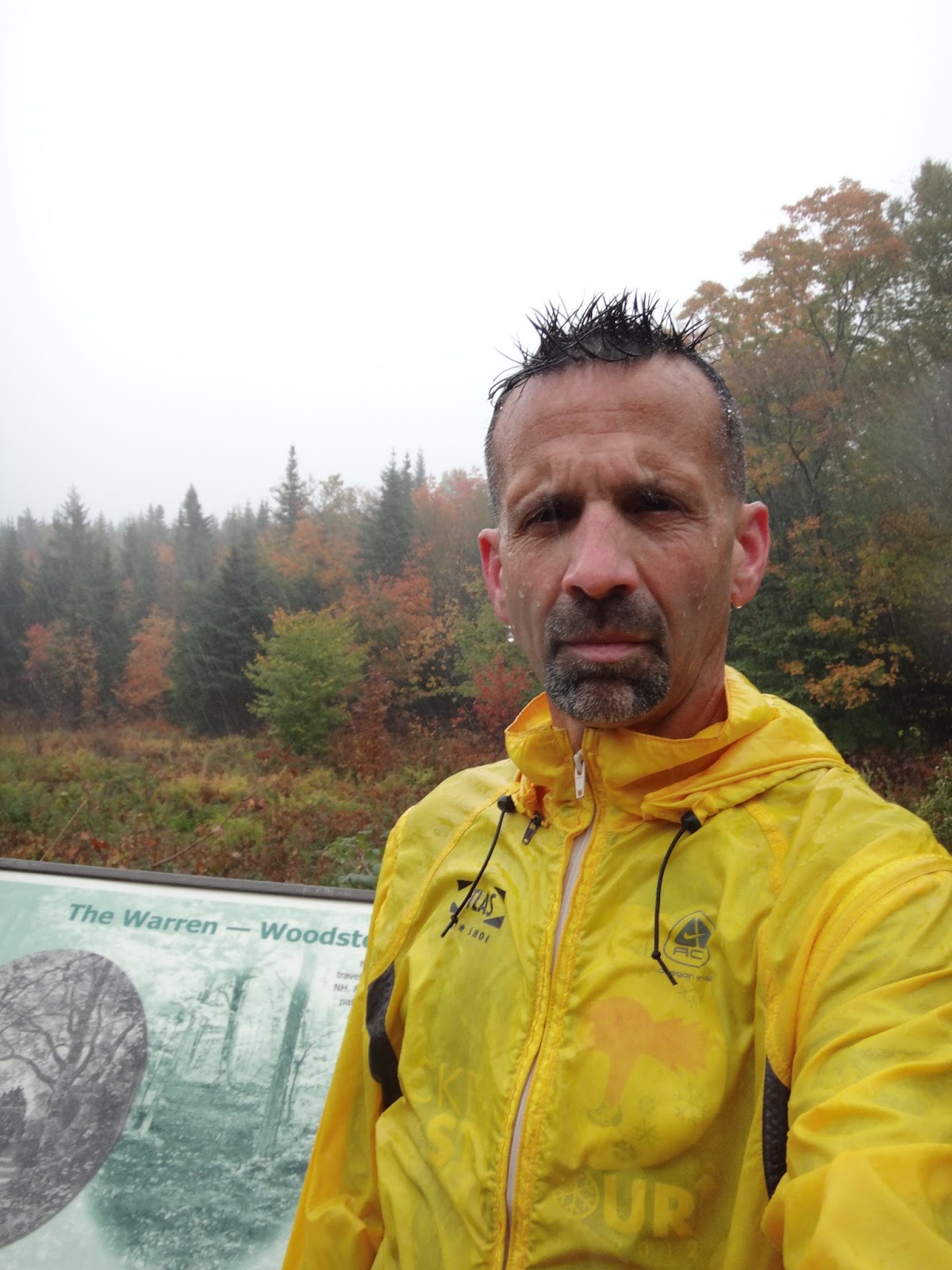
My first stop of the day was Woodstock/Warren where I parked
at a turnout on the Sawyer highway that promised a “scenic view”. It was
pouring rain and 43 degrees an auspicious start to my peakbagging weekend. I
ran across the town line and back for a very nasty 3 miles with 420’ of
climb/descent. It took me a half-hour to get feeling back in my hands.


Next up was the town of Monroe. I parked on Smutty Hollow
road and did a much more pleasant 3 mile run up/down the road. The rain had
stopped for the moment and it was just foggy and a little misty for the run.
This was a scouting mission of sorts as I’ll have to come back here to visit the
former fire tower site on Signal Mountain. The dirt road run had a bonus as
there were wild apple trees along the way. I grabbed one near the end of the
run and ate it on my way to the next run. It was delicious.


My third run of the day was in Columbia. The temperature had
soared up to 50 degrees and the rain was back but just lightly now. I ran a
nice flat 3 mile run out/back into Lemmington Vermont. It was very scenic
especially the start/finish at the Columbia covered bridge.


The final run of the day was Diamond Peaks. I parked at the
gate in Wentworth’s Location on Dead Diamond road and ran the road 2 miles to
the well marked trailhead in the town of “Second College Grant”. The first two
miles were gentle climb of 150’ on dirt road; then the climb begin, it wasn’t
bad but 46 degree temps and fog and drizzle and the view socked in made it a bit
more of a slog than it should have been. After a mile of climb I hit the false
summit at 1,970’ and then dropped 70’ before the final climb to the summit at
2,015’. I reached the top in 36:20 for 3.25 miles. There was nothing to see
and I was cold (totally soaked from the narrow trail and pine trees), so I
started right back down. I was very careful on the down as it was a bit slick
and I was tired from the long day of running and driving. It took me 20 minutes
to descend the 1.25 miles to the dirt road. After that the running was pleasant
and I covered the last 2 miles back to the car in 16:25. One more town bagged
and only three to go!


My camping spot for the weekend was at the pleasant
Mollidgewock State Park in Errol, NH. I selected the final site on the dead end
road. The site was very secluded for being in a campground. It was right on
the Androscoggin River and the rapids cancelled out any other sound, it made for
a very nice evening even with the rain.


My next plan was to park at the Berlin Fish Hatchery and run
the trail up to Unknown Pond (a 6.6 mile round trip). What I didn’t take into
account was the road being gated and locked until 8:30 am. I didn’t want to
wait, so I parked a mile from the gate and did my run from that point.
Unfortunately that meant I wouldn’t be able to run all the way to the pond, so
for now it will remain Unknown to me. Anyway I got in another pleasant run and
8.5 mile round trip that bagged me the towns of Berlin and Killkenny that
climbed/descended 750’. Finally the sun was out which made the upper 30 degree
temperatures comfortable.


Kevin and I met up at the Dunkin’s in Berlin which was
hopping with a mix of locals and hikers in town for the Columbus Day weekend.
We carpooled and drove the sometimes rough dirt road (Success Pond Road) to the
clearly marked trailhead for Success Mountain. It was 43 degrees, crisp and
clear as we started out. We both carried some extra warm gear but went lightly
clothed for the run up. I went with shorts and a long-sleeve since it seemed
like such a bright sunny day. There was a sign at the TH that showed the trail
off to the right so off we went. This would be my final town bagging run, after this I’d be able to
claim to have run in every town in New Hampshire. The climb was gentle at first
and a little tougher as we moved up the peak. We climbed from 1,630’ to the
overlook loop at 1.5 miles and 2,990’. There were some great views from the
Outlook especially the Presidential Peaks which were dusted with snow. We spent
a little time checking out the view before heading back to the Success trail.


The next 1.5 miles brought us up some icy and wet slabs and a
couple of very wet and muddy swamp crossing before reaching the summit at
3,565’. The 3 mile climb of 1,925’ took us 62 minutes (including stops). We
headed off the summit for a 150’ drop down to the plane crash site. It was
pretty easy to find with the herd paths off of the final summit slabs. We spent
a little time checking out the huge sections of plane that remain then headed
back up to the top of Mt Success. The run down was pretty slow as I was being
very cautious. We added in the “loop” section of the Outlook Loop and it was
definitely worth it. Again there were some spectacular views of Mt Washington
and the near peak foliage. We were back at the car 2:34 after we started with a
7 mile run behind us and for me all of New Hampshire done.


No comments:
Post a Comment